A unified geospatial intelligence platform indigenously developed by CAIR, DRDO and purpose-built for Bharat's Tri-Services. No foreign dependency. No black-box technology. Plays a vital role in enabling precision decision support (PDF) and mission-ready performance from day one.
CIVILIAN GIS APPLICATIONS
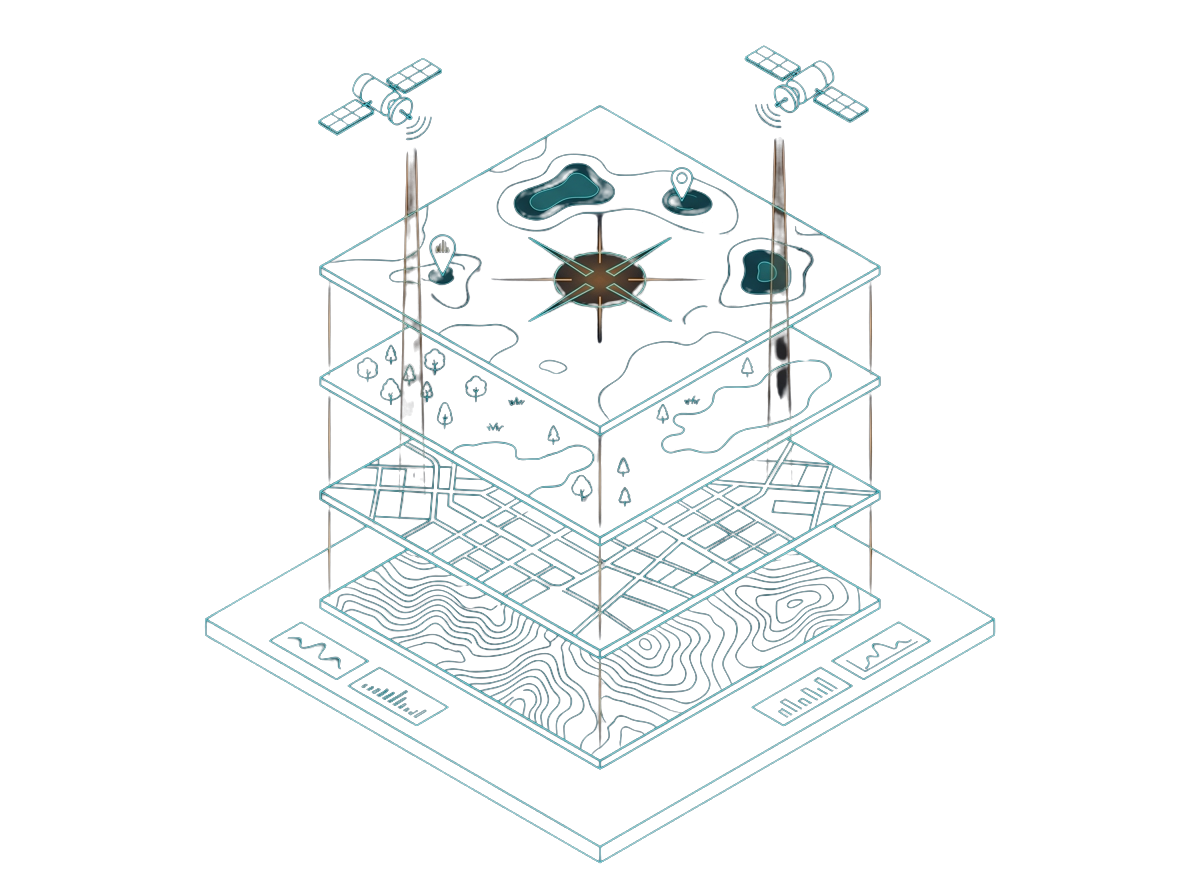
Built For Strategic Purposes
These six foundational capabilities demonstrate the breadth of INDIGIS Enterprise beyond the battlefield — delivering sovereign geospatial intelligence for India's critical civilian governance, infrastructure, and environmental needs.
CROP LOSS ASSESSMENT
Agricultural Intelligence
Satellite-based spectral analysis for crop area estimation, crop damage assessment, and long-term cropping pattern monitoring to support insurance and agricultural governance workflows.
LIDAR FOREST MONITORING
Forest & Land Monitoring
Advanced LiDAR and remote sensing workflows for fire alert systems, forest encroachment detection, biomass density analysis, and wildlife corridor planning.
URBAN / SLUM SPRAWL STUDIES
Urban Analytics
High-resolution urban mapping for land-use classification, slum detection, flood zoning, heat island tracking, and earthquake vulnerability assessment.
VESSEL DETECTION
Maritime Security
Temporal vessel movement analysis and maritime intelligence for coastal monitoring, asset protection, anomaly detection, and strategic security operations.
RENEWABLE ENERGY POTENTIAL
Energy & Infrastructure
Remote sensing and LiDAR-driven terrain analysis for rooftop solar identification, wind generation planning, and renewable infrastructure deployment.
DIGITAL TWINS ENGINE
Digital Twin Systems
Scenario-based "what-if" and predictive infrastructure simulations for urban systems, environmental planning, disaster response, and governance intelligence.
System Architecture
Scalable. Secure. Interoperable.
Four tiers designed to work together across strategic headquarters, regional formations, and disconnected tactical edge environments, all within a single coherent and fully auditable platform.
Access Layer
Desktop, Web and Mobile Clients
Desktop server for full offline and air-gapped operation. Web Client for zero-footprint thin client access from any browser. Mobile GIS for the tactical edge. All clients feature zero data residue, MIL-STD-2525 symbology support, and operational capabilities under minimal navigational guidance.
Transmission Layer
Constrained Military Network
Encrypted and bandwidth-adaptive transmission across SATCOM, tactical radio, and secure WAN links. Smart caching and differential updates keep the platform operational at minimal bandwidth without compromising data integrity.
Processing Layer
INDIGIS Enterprise Server
OGC services covering WMS (WMTS) , WFS (WAFTS), WPS, WCS, all running in an Active-Active, Active-Passive cluster. Deployable on-premises, in an isolated cloud environment, or fully air-gapped.
Data Layer
Geodatabase and Format Support
Inbuilt PostgreSQL and PostGIS supporting petabyte operations. Full support for various image formats like GeoTIFF, ECW, MrSID, JPEG2000, and others.
Tri-Services Applications
Unified GIS for Land, Sea and Air
Domain-specific operational modules built for the Indian Army, Navy, and Air Force, sitting on a common architecture with a shared OGC interoperability layer for joint and HADR operations.
Land Domain
Indian Army
From mission planning and terrain analysis through to convoy management and border surveillance, INDIGIS delivers the geospatial backbone for land domain operations at every echelon of command.
Mission Planning: Route analysis, ambush zone identification, and tactical deployment visualisation with full terrain context.
Convoy Management: Real-time tracking and logistics route optimisation across complex terrain profiles.
Terrain Analysis: Slope, aspect, and Line-of-Sight calculations for optimal positioning and threat assessment in the field.
Border Surveillance: Integration with sensor data for persistent perimeter security and continuous border monitoring.
Installation Requirements
System Requirements
Hardware and software prerequisites for installation of INDIGIS Enterprise Suite by M/s People Process Teck Pvt. Ltd., Bangalore.
Software / Tools
Language
C++
Framework
QT 5.15.1
Operating System
Platform
Linux
Version
RHEL 9.2
Hardware Specification — Laptop / Desktop
No.
Component
Specification
01
Processor Speed
Minimum 3 GHz
02
RAM Memory
64 GB
03
Processor
Intel i7 or above (i5 latest generation also suitable)
04
Network
0 / 100 / 1000 Mbps Ethernet
05
Storage
1 TB HDD
06
GPU
Nvidia 4000 Ada Generation — 12 GB or more
Assumptions
Internet access required to download and use GDAL Warp APIs during installation and development.
High resolution data for testing to be provided by the user.
Platform Data
Technical Specifications
Detailed technical parameters and performance characteristics of the INDIGIS Enterprise platform.